Arusha National Park
Overview
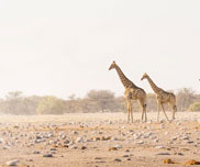
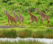
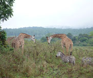
Arusha National Park covers Mount Meru, a prominent volcano with an elevation of 4566 m, in the Arusha Region of north eastern Tanzania. The park is small but varied with spectacular landscapes in three distinct areas. In the west, the Meru Crater funnels the Jekukumia River; the peak of Mount Meru lies on its rim. Ngurdoto Crater in the south-east is grassland. The shallow alkaline Momella Lakes in the northeast have varying algal colours and are known for their wading birds.
Mount Meru is the second highest peak in Tanzania after Mount Kilimanjaro, which is just 60 km away and forms a backdrop to views from the park to the east. Arusha National Park lies on a 300-kilometer axis of Africa’s most famous national parks, running from Serengeti and Ngorongoro Crater in the west to Kilimanjaro National Park in the east.
Map
Best Time to Visit
The Park can be visited throughout the year; however the weather is best between June and February. Short rains are normally experienced in November. There area no mosquitoes or tsetse flies in this park throughout.
How to go to Park
Get a direct flight to Kilimanjaro International Airport which is located 29 minutes from Arusha town. A drive from Arusha town to Arusha National Park is 45 minutes. Alternatively, a tourist may use a domestic flight from Kilimanjaro International Airport to connect to Arusha Airport.
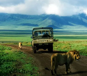
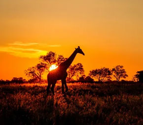
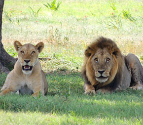
Activities at the Park
- Boat Cruise
- Walking Safari
- Game Drive
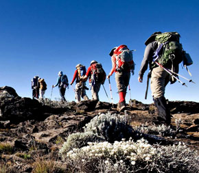
- Hiking
- Bird Tours
- Momella Lakes
- Ngurdoto
Gallery


Related Tanzania Safari Packages


Tailor- Made Tour Section

Helping You to find a better value Safari
Whether you are ready for Tanzania Safari or Kilimanjaro Climb or Zanzibar Beach Holiday for a few days, our experts will create an itinerary fully tailored to your wishes.
Tailor-Made Safari ExperiencesFollow on Instagram